Hit enter to search or ESC to close
Close Search
Cyngor Cymuned Ceulanamaesmawr
search
Menu
  • Attractions
  • Documents and Official Notices
  • Support
  • Councillors
  • Register of Members’ Interests
  • Council’s Archives
  • Cemetery
  • Links
  • Facilities
  • Boundaries
  • Cymraeg
  • search

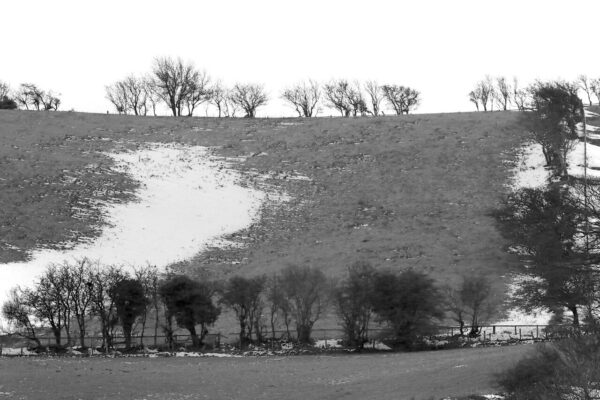
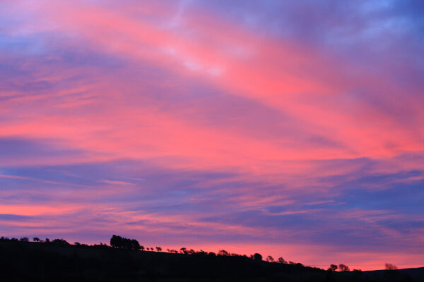
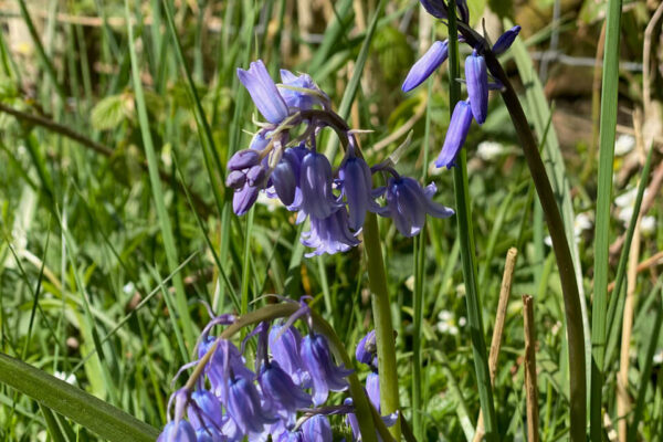
Braichgarw [SN664 885]

Braichgarw3
Braichgarw5
Braichgarw4
Braichgarw2

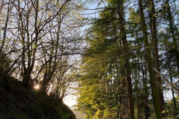
A stretch of common land about half a mile to the east of Tal-y-bont. For many generations this open space was popular with village children for picnics or to swim in the river Eleri. The route of the long distance footpath from Borth to Devil’s Bridge goes through Braichgarw.

  • Previous ProjectLlety Llwyd Hillfort [SN650 882]

  • Next ProjectTaliesin’s Grave [SN670 911]

Share Tweet Share Pin

Thank you to the following for allowing us to use their photos:

Catrin M S Davies
Ruth Jên Evans
Iolo ap Gwynn
Gwyn Jenkins
Arvid Parry Jones
Mair Nutting

© 2026 Cyngor Cymuned Ceulanamaesmawr.

Close Menu
  • Attractions
  • Documents and Official Notices
  • Support
  • Councillors
  • Register of Members’ Interests
  • Council’s Archives
  • Cemetery
  • Links
  • Facilities
  • Boundaries
  • Cymraeg
imunify-bot-check
  • English
  • Cymraeg (Welsh)